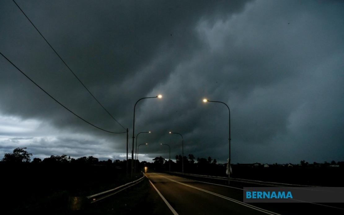
The Malaysian Meteorological Department has alerted residents across multiple states to prepare for intense weather conditions this evening, issuing a warning that spans from Peninsular Malaysia to the eastern sections of Borneo. The alert, which remains in effect until 9 pm, encompasses a substantial portion of the country's populated areas and serves as a reminder of the unpredictable nature of Malaysia's tropical monsoon system, which can produce rapidly developing weather systems with minimal advance notice.
In Peninsular Malaysia, the storm system is expected to affect several districts across the northern and eastern regions. Perak faces potential impacts in three separate areas: Larut, Matang and Selama along the western coast, along with the inland districts of Kuala Kangsar and Kinta in the Kinta Valley region. This represents a broad geographical spread that could disrupt activities and transport across the state. Kelantan, situated on the east coast, anticipates turbulent conditions in three districts—Jeli in the north, and the central zones of Kuala Krai and Gua Musang, both located along major transport corridors.
Terengganu's Kemaman district, positioned on the southern portion of the east coast, is also in the warning zone, while neighbouring Pahang experiences risk across its eastern flank with two districts flagged: Lipis and Jerantut. These areas form part of the densely forested interior regions where drainage can become problematic during intense rainfall. Johor, Malaysia's southernmost state, faces exposure in Kulai, Kota Tinggi, and Johor Bahru—three districts of significant economic and population importance, with Johor Bahru serving as a major urban and commercial hub.
Sarawak's situation reveals the storm's extensive geographical reach across maritime borders. The warning encompasses Kuching and Samarahan, the state capital region and its immediate surroundings which house the bulk of Sarawak's population and commercial activity. Kanowit, positioned within the Sibu division, sits in the central region, while the Bintulu division faces alerts in Tatau and Sebauh further inland. Limbang in the far north completes Sarawak's affected zone. This distribution suggests a weather pattern of considerable scale rather than isolated convective cells.
Sabah, the island state positioned on the northern section of Borneo, is not exempt from the system's reach. Sipitang in the Interior division of southwestern Sabah faces the threat, while the Sandakan division on the eastern coast experiences warning coverage across multiple districts including Telupid, Kinabatangan, Beluran, and Sandakan town itself. The Sandakan division's inclusion indicates that even the state's more developed eastern regions will experience disruption.
Thunderstorms of this magnitude carry implications beyond simple inconvenience. Heavy rainfall across such dispersed areas can trigger flash flooding in low-lying zones, disrupt transportation networks including airports and maritime operations, and pose risks to outdoor activities and construction sites. The strong wind component suggests potential structural impacts on less secure structures and vegetation damage in plantation and forested areas. For businesses, particularly in Johor Bahru and Kuching, evening operations may face interruption.
The timing of the warning—spanning an evening period until 9 pm—suggests that peak traffic hours could coincide with the most severe weather. Commuters returning home during rush periods may encounter hazardous driving conditions with reduced visibility and waterlogged routes. Public transportation operators may implement delays or service modifications as a precaution.
For residents in affected zones, the meteorological department's alert provides a window to take preparatory measures. Securing loose outdoor items, avoiding unnecessary travel during peak storm hours, and ensuring drainage pathways remain clear represent practical responses. Those engaged in construction, agricultural, or maritime activities should prioritize safety protocols specific to severe weather conditions.
The geographic distribution of this warning—spanning from Perak and Kelantan in the north through to Johor in the south, while simultaneously affecting both Sarawak and Sabah—demonstrates the interconnected nature of weather systems across Malaysia's diverse geography. Tropical maritime air masses can generate organized convective activity across vast territories when atmospheric conditions align favourably, a phenomenon that becomes increasingly common during the transition periods between monsoon seasons.
Residents and businesses should remain alert to real-time updates from the Malaysian Meteorological Department, as weather situations can intensify or extend beyond initial forecasts. Mobile weather alerts and local news broadcasts will provide updated information as conditions develop. The authority's willingness to issue alerts across such a wide area reflects the potential severity of these meteorological events and the importance of public awareness in mitigation efforts.

