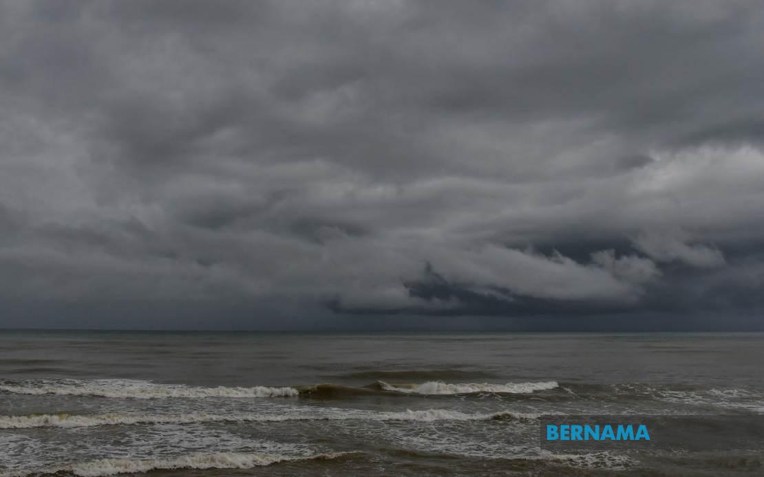
The Malaysian Meteorological Department has alerted the public to expect thunderstorms, heavy rainfall, and gusty winds across a broad swathe of the country, with conditions persisting until 9 pm on July 16. The warning encompasses multiple regions spanning the peninsula's west and central territories, both East Malaysian states, and the federal territory of Labuan, indicating a significant weather system affecting the nation's most populated areas simultaneously.
In Peninsular Malaysia, residents across Perlis and northern Kedah face the brunt of the unsettled conditions, with particularly vulnerable zones including the island district of Langkawi alongside mainland areas such as Kubang Pasu, Padang Terap, Sik, Baling, Kulim, and Bandar Baharu. The northern state's exposed geography and proximity to major water bodies make it especially susceptible to rapid weather deterioration during monsoon transitions and inter-monsoon periods.
Pearak's central and southern divisions fall within the warning zone, encompassing Kerian, Larut, Matang and Selama in the north, alongside the more densely populated Hilir Perak, Batang Padang, and Muallim districts. These areas experience frequent convective activity during the afternoon and early evening as moisture-laden winds interact with the state's elevated terrain and water surfaces.
The warning extends to Malaysia's economic heartland, affecting Kuala Lumpur and multiple Selangor districts that form the nation's administrative and commercial core. Particularly vulnerable zones include the northern fringe areas of Sabak Bernam and Kuala Selangor, the central upland region of Hulu Selangor, and the sprawling metropolitan districts of Klang, Gombak, and Petaling. These regions house millions of residents and contain critical infrastructure, transportation networks, and business operations that could face disruption from severe weather.
In the southern peninsula, Johor's Kulai and Johor Bahru districts join the affected roster, encompassing areas ranging from industrial zones to residential neighborhoods serving the state's largest urban concentration. Johor's position at the peninsula's southern tip and its extensive coastline increase exposure to atmospheric instability and wind-driven rainfall.
East Malaysia faces similarly widespread impacts, with Sabah experiencing weather disruption across interior regions, the densely populated West Coast corridor including Papar, Putatan, Penampang, and the state capital Kota Kinabalu, plus the mountainous Ranau and coastal Tuaran areas. Sandakan division's interior and coastal regions of Tongod, Telupid, and Beluran also fall within the alert zone, potentially affecting the state's tourism and agricultural sectors.
Sarawak's warning coverage stretches from the upriver districts of Kapit, Bukit Mabong, and Belaga through to the northern coastal cities of Miri and Limbang. These regions, though less densely populated than peninsular counterparts, support significant logging, agriculture, and oil operations vulnerable to weather-related disruptions.
Such widespread simultaneous warnings suggest an organized weather system rather than scattered convective cells, potentially linked to the Southwest Monsoon transition or a localized depression system. The temporal constraint—extending only until 9 pm—indicates a relatively compact weather event, though the geographic span from Perlis to Sabah demonstrates the system's considerable size and influence.
Residents in affected areas should prepare for possible flash flooding in low-lying zones, temporary power outages from lightning strikes, and hazardous driving conditions on major routes. Schools, businesses, and public services in these regions may face disruptions, while farmers and fishermen should secure equipment and avoid outdoor work during peak convective hours. Aviation operations and maritime activities in affected zones may also experience delays or cancellations as visibility deteriorates and wind speeds increase.
For Malaysian travelers and businesses, the evening timeline suggests peak disruption during rush hour and early evening operations, potentially affecting commuters, delivery services, and evening events. Those working outdoors or in exposed industries should heed the warning and take shelter when conditions deteriorate. The simultaneity of the warning across such diverse regions underscores how quickly tropical weather systems can develop and spread across the archipelago's vast distances.
The warning's relatively short duration provides some reassurance that the system is expected to dissipate by mid-evening rather than persist overnight, though residual instability and isolated showers may continue in some areas beyond the stated timeframe. Citizens are advised to monitor MetMalaysia's updates and local weather stations for any extensions or modifications to the warning as the situation develops.

