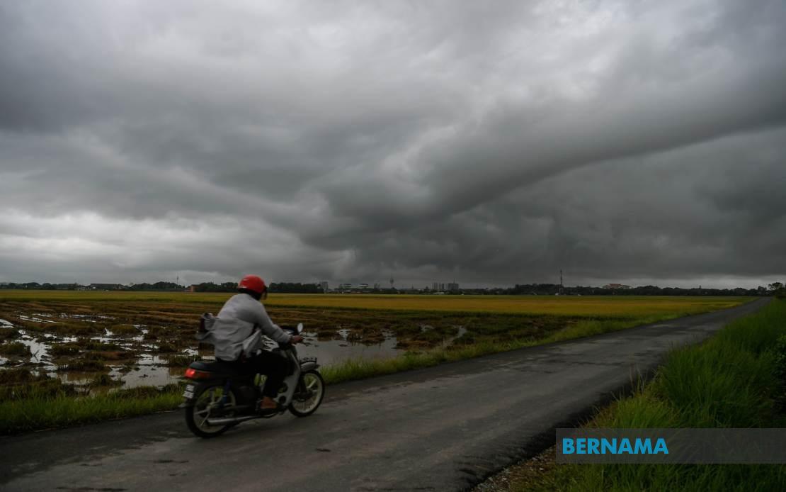
The Malaysian Meteorological Department has activated a weather alert covering extensive areas of the country, warning residents and travellers of severe thunderstorms accompanied by torrential downpours and gusty winds expected to sweep across Peninsular Malaysia, Sarawak, Sabah and the Federal Territory of Labuan through the evening hours until 9pm. The advisory underscores the department's heightened vigilance during the monsoon season, when atmospheric instability frequently triggers sudden and intense weather systems across the tropical archipelago.
Across the northern states, the warning encompasses significant population centres and rural zones alike. In Kedah, MetMalaysia has flagged Kuala Muda, Baling, Kulim and Bandar Baharu as areas where residents should exercise caution. Penang faces a comprehensive alert spanning the Northeast district along with all three administrative divisions of Seberang Perai—Utara, Tengah and Selatan—reflecting the broad geographical reach of the expected weather system across the state.
Perak's warning stretches across its diverse topography, affecting coastal and inland communities from Kerian in the northwest through the central industrial and agricultural zones of Kinta and Kampar, extending to the highland areas around Kuala Kangsar and westward to Batang Padang. The inclusion of both lowland and elevated regions suggests the weather pattern possesses sufficient vertical energy to impact communities at varying altitudes, a concern particularly relevant given the potential for flash flooding in valleys and river systems.
The northeastern states face similarly broad coverage. All areas within Kelantan fall under the alert, indicating the meteorological department's assessment that the entire state remains vulnerable to the approaching system. In Terengganu, six districts have been specifically identified—Besut, Hulu Terengganu, Kuala Terengganu, Marang, Dungun and Kemaman—with their geographic spread from coastal plains to interior regions suggesting widespread atmospheric disturbance.
Pahang's vulnerable zones include both the celebrated Cameron Highlands tourist destination and the broader east coast districts of Kuantan, Pekan and Rompin, alongside interior areas such as Lipis and Jerantut. This geographic diversity reflects how monsoon systems can simultaneously threaten holiday destinations, major urban centres and remote communities, underscoring the need for coordinated weather monitoring and emergency preparedness across multiple jurisdictions and administrative layers.
In the southern peninsular region, Johor has been identified as particularly exposed, with eight districts placed under alert: Tangkak, Segamat, Muar, Kluang, Mersing, Kulai, Kota Tinggi and Johor Bahru. The inclusion of major commercial and population centres like Johor Bahru alongside smaller interior and coastal districts indicates the system's potential to disrupt economic activity, transportation networks and daily life across the state's diverse communities.
The East Malaysian territories face their own weather challenges under the same alert system. In Sarawak, the warning covers a discontinuous but strategically important collection of regions, including the downstream urban centre of Sibu, the coastal districts of Mukah and Bintulu—significant for their resource industries—along with the interior region of Kapit and the northern division of Miri. The specific notation of Matu, Dalat within Mukah, Tatau within Bintulu and Song within Kapit suggests MetMalaysia has refined its warning granularity to account for localised topographic and climatic variations.
Sabah's alert encompasses regions across two distinct geographic and administrative divisions. The Interior Division districts of Sipitang, Kuala Penyu, Beaufort and Tambunan represent communities in more remote terrain, while the West Coast regions of Papar, Penampang and Ranau include the broader Kota Kinabalu metropolitan area and surrounding zones. The dual coverage of Sabah's interior and coastal zones reflects the monsoon system's capacity to generate convective activity across varied landscapes, from coastal lowlands to foothill terrain.
The Federal Territory of Labuan, an island jurisdiction with distinct meteorological characteristics and maritime exposure, has also been incorporated into the warning envelope. This inclusion reflects MetMalaysia's assessment of the system's intensity and geographic extent, with the maritime nature of Labuan rendering it particularly susceptible to wind-driven hazards.
The temporal scope of the alert—persisting until 9pm—suggests the meteorological department expects the most severe manifestations of the weather system to occur during the late afternoon and early evening hours. This timing carries particular implications for rush-hour traffic, commuter safety and outdoor economic activity. Residents and authorities across all flagged regions are advised to monitor weather updates closely, secure loose outdoor objects, avoid unnecessary travel during the warning period and remain prepared for potential disruptions to utilities and transportation infrastructure.
The geographic comprehensiveness of this alert, spanning thirteen states and federal territories with dozens of individual districts identified, represents a significant weather event likely to influence daily routines for millions of Malaysians. The pattern of affected areas, while seemingly extensive, reflects the reality of monsoon circulation patterns during certain seasonal phases, when atmospheric steering mechanisms can channel convective systems across vast continental and island territories simultaneously.

