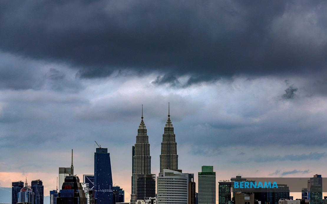
The Malaysian Meteorological Department has issued a significant weather alert affecting the federal territories and a substantial portion of Peninsular Malaysia, cautioning residents and commuters to exercise heightened vigilance as severe thunderstorms and heavy rainfall are expected to persist until mid-afternoon today. The warning encompasses Kuala Lumpur, Putrajaya, and ten additional states or regions, painting a picture of widespread atmospheric instability across the nation's most densely populated corridor and extending into less urbanised areas.
Northwestern Kedah faces particular vulnerability, with MetMalaysia identifying seven districts as falling within the warning zone: Yan, Pendang, Kuala Muda, Sik, Baling, Kulim and Bandar Baharu. Neighbouring Perak has also been designated as a risk area, specifically affecting the Kerian district and the combined region of Larut, Matang and Selama. These northern states form part of a broader meteorological disturbance pattern that extends southward and eastward across multiple economic and population centres.
The entire state of Penang sits squarely within the affected zone, representing a critical concern given its status as a major commercial and manufacturing hub in the northern region. The warning similarly encompasses the entirety of Selangor, though MetMalaysia has specifically identified seven districts requiring attention: Kuala Selangor, Klang, Gombak, Petaling, Kuala Langat, Hulu Langat and Sepang. This comprehensive coverage of Selangor is particularly significant for commuters and workers traversing the greater Klang Valley metropolitan area, where transportation disruptions during peak weather events can cascade across the region's integrated transport networks.
The greater Kuala Lumpur area itself remains under heightened alert, creating a compound risk scenario for Malaysia's capital and its surrounding municipalities. The simultaneous warning for both the capital and adjoining Selangor means that millions of residents and workers should prepare for potential traffic congestion, flash flooding in low-lying areas, and disruptions to daily activities. Schools, offices and commercial establishments operating in these zones should consider contingency plans for the duration of the alert period.
Eastern and southern peninsular territories have not escaped the meteorological department's scrutiny. Pahang's Rompin district faces the expected severe weather conditions, as does Negeri Sembilan with four identified districts: Seremban, Port Dickson, Rembau and Tampin. These interior and coastal regions may experience particularly intense rainfall and wind conditions given their geographic characteristics and exposure to atmospheric systems moving across the peninsula. Melaka, situated on the western coastal belt, has also been flagged as a concern area, where storm surge and coastal wind effects could compound precipitation-related hazards.
Johor, Malaysia's southernmost peninsular state, faces a fragmented warning pattern affecting five specific districts: Tangkak, Segamat, Muar, Batu Pahat and Kluang. This selective geographic coverage suggests that the meteorological disturbance maintains particular intensity corridors rather than affecting the entire state uniformly. Johor's inclusion reflects how the weather system has created multiple risk zones across the nation's major commercial and agricultural regions.
The nature of the hazard—thunderstorms combined with heavy precipitation and strong gusty winds—presents a multifaceted risk profile requiring different preparedness responses. Thunderstorm activity generates sudden, intense rainfall that can rapidly overwhelm drainage systems in urbanised areas, leading to flash flooding of underpasses, basements and low-lying residential districts. The associated lightning poses electrocution risks to individuals outdoors or in exposed locations. Wind gusts accompanying these storms can dislodge unsecured structures, fell trees and branches, and create hazards for vehicles on exposed highways and bridges.
The three-hour window specified by MetMalaysia—extending until mid-afternoon—suggests forecasters anticipate the system will weaken or move beyond affected areas by mid-to-late afternoon. However, residents should remain alert even after the official warning period concludes, as scattered thunderstorms may persist beyond the specified timeframe. The morning commute period falls squarely within the alert duration, meaning public transportation systems, road networks and workplace safety protocols should incorporate weather-appropriate modifications.
For the broader Southeast Asian context, such widespread simultaneous weather warnings across multiple peninsular jurisdictions reflect the region's vulnerability to inter-monsoon transition periods and localised atmospheric systems. Malaysia's position on the equatorial belt exposes it to frequent convective activity, particularly during transitional seasons. The current alert pattern demonstrates how weather systems can rapidly develop and affect large geographic areas, underscoring the importance of real-time meteorological monitoring and public dissemination of weather information.
Authorities across affected states and federal territories have been implicitly alerted to activate relevant disaster management protocols, deploying rescue personnel to vulnerable areas and monitoring water levels in flood-prone zones. Public warnings of this magnitude typically trigger heightened vigilance among road maintenance crews, utility providers and emergency services. Residents are advised to secure loose outdoor items, avoid unnecessary travel during peak storm activity and remain indoors when thunderstorms are actively occurring in their vicinity.

