Terengganu's state government is channelling RM3.78 million into comprehensive development programmes across Kenyir Geopark in Hulu Terengganu, signalling a strategic commitment to elevate one of Malaysia's significant geological and cultural assets onto the international stage. The funding commitment, managed through the Hulu Terengganu District Office, represents a deliberate investment in both infrastructure and institutional capacity as the state government pursues dual objectives: maintaining the geopark's existing National Geopark status while building towards eventual recognition as a UNESCO Global Geopark.
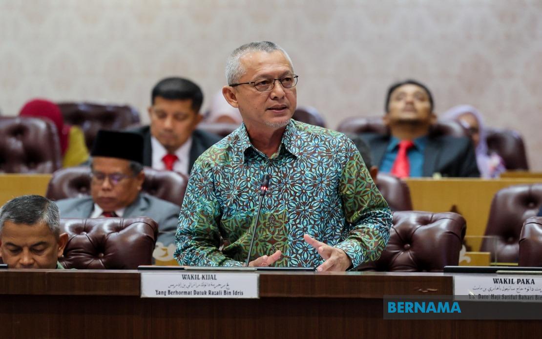
According to Datuk Razali Idris, who chairs the State Tourism, Culture, Environment and Climate Change Committee, the allocation addresses multiple dimensions of geopark development that extend well beyond basic maintenance. The investment encompasses three interconnected pillars: the active conservation of geoheritage sites that hold significant scientific and cultural value, the development of commercially viable geotourism products that can sustain local economies, and the establishment of visitor infrastructure and educational programmes. This comprehensive approach reflects international best practices in geopark management, where conservation, economic development, and community engagement operate in tandem rather than competition.
The conservation component of the investment targets specific geological and cultural landmarks of particular importance to Terengganu's heritage. Sites including Gua Bewah, Gua Taat, and Batu Bersurat have been identified as priority areas for preservation and study. These locations represent not merely tourist attractions but irreplaceable records of the region's geological history and cultural significance. By dedicating resources to their protection and scientific documentation, Terengganu aims to demonstrate to UNESCO evaluators that the state treats geopark management as a serious commitment to knowledge preservation rather than a superficial tourism initiative.
Kenyir Geopark itself spans approximately 244,900 hectares across Hulu Terengganu, making it a substantial territorial undertaking. The geopark currently encompasses 15 distinct geosites—locations of special geological interest—alongside 10 biosites reflecting biodiversity significance, 11 cultural heritage sites connected to human settlement and activity, and one geo-archaeological site integrating geological and archaeological importance. This inventory demonstrates the geopark's multifaceted appeal and its capacity to serve diverse research, educational, and tourism purposes. The presence of such varied site types strengthens the case for UNESCO recognition, as the organisation increasingly emphasises geoparks that integrate geological conservation with broader cultural and environmental stewardship.
Public awareness and education initiatives represent a critical component of the funding allocation, reflecting recognition that sustainable geopark management requires community participation and understanding. By investing in educational programmes, the state government aims to cultivate local ownership of conservation efforts and demonstrate to potential visitors and researchers that Kenyir Geopark operates as a functioning educational institution rather than merely a scenic location. Capacity building for the local community serves a dual purpose: it creates pathways for economic participation in geotourism activities while building technical expertise in geopark interpretation and management that reduces dependency on external expertise.
The visitor statistics released by Razali reveal striking momentum in geopark utilisation. Arrivals reached 454,765 visitors during 2024, compared with 218,157 in 2023—a gain of more than 108 percent year-on-year. This dramatic increase suggests that previous investments in accessibility, marketing, and infrastructure are generating returns and that demand for geotourism experiences in Malaysia extends beyond specialist audiences. For a state government considering further investment, such growth metrics provide tangible evidence that geopark development generates both conservation impact and economic benefit. The doubling of visitor numbers within a single year indicates that Kenyir Geopark has moved beyond niche status into mainstream tourism consciousness within Malaysia and potentially the region.
This visitor surge carries implications for facility planning and environmental management. Doubling visitor numbers without corresponding increases in infrastructure, waste management, and visitor guidance systems risks degrading the very geological and natural features that attract tourists initially. The RM3.78 million allocation must therefore balance promotion of visitor access with rigorous management of environmental impacts. How Terengganu deploys these funds will reveal whether the state views geotourism as a sustainable development pathway or merely as short-term revenue generation that subordinates conservation principles to visitor throughput.
The pursuit of UNESCO Global Geopark status carries strategic significance for Terengganu beyond the prestige of international designation. UNESCO recognition enhances the geopark's authority in scientific and educational circles, creates eligibility for international funding and technical assistance, and provides competitive advantage in attracting higher-value geotourism—particularly educational and research tourism involving universities and scientific institutions. For a state seeking to diversify its economy beyond traditional extractive industries and conventional tourism, geopark development offers a distinctive positioning that aligns economic interests with environmental protection and knowledge creation.
Malaysia's broader geopark landscape includes other designated sites, yet Kenyir's scale and geological diversity position it to become a leading national example. Successful development of Kenyir Geopark could establish a replicable model for other states considering similar initiatives, potentially creating a national network of interconnected geopark tourism destinations. This network effect would enhance Malaysia's international profile in the global geopark community and create collaborative opportunities for research, education, and conservation that extend beyond individual state boundaries.
The state government's willingness to commit RM3.78 million specifically to this initiative, extracted from line items that competitive with other public spending priorities, suggests political consensus around geotourism development. For the Malaysian reader concerned with regional economic development and environmental stewardship, Kenyir Geopark represents a test case in whether Malaysia can build sustainable tourism models that genuinely integrate conservation, scientific research, and community benefit rather than replicating conventional resort-based tourism patterns that often generate economic leakage and environmental stress.
Looking forward, Terengganu's next milestones involve converting visitor momentum into institutional sustainability and navigating UNESCO's assessment processes, which demand demonstrated excellence in geological interpretation, conservation practice, and community engagement. The allocation announced demonstrates commitment to these standards, yet the true measure of success will emerge in subsequent years as the state translates funding into tangible improvements in visitor experience, conservation outcomes, and local economic participation. For Southeast Asian observers monitoring geotourism trends, Kenyir Geopark's trajectory offers insights into whether alternative tourism models can genuinely deliver both economic and environmental benefits.

