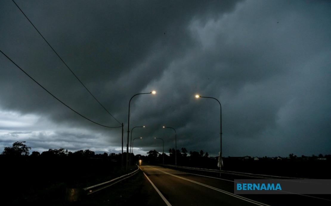
The Malaysian Meteorological Department has activated an urgent thunderstorm warning across multiple regions in Peninsular Malaysia, with meteorologists cautioning residents and commuters to exercise heightened vigilance as dangerous atmospheric conditions develop throughout the morning. The alert, issued on August 18, encompasses a broad swath of the nation's densely populated corridor, affecting millions of residents across the Klang Valley, northern Perak, and the Penang conurbation as the tropical weather system intensifies.
According to MetMalaysia's official alert, the first band of severe weather activity centres on the western seaboard and interior zones of Selangor, with particular concern flagged for the Klang conglomeration, Kuala Langat, Sepang, Kuala Selangor, Petaling, Sabak Bernam, and Gombak areas. The Federal Territories of Kuala Lumpur and Putrajaya fall within the primary impact zone, placing the nation's capital and administrative centre directly in the path of the developing system. Residents in these localities have been advised to remain alert for sudden deterioration in atmospheric conditions as convective activity escalates through the morning hours.
The warning extends northward into Kedah, where the districts of Kuala Muda and Yan face similar threats of torrential downpours accompanied by gusty winds capable of displacing loose objects and causing minor structural damage. The island state of Penang, a crucial commercial and tourist hub, has also been included in the affected region. This northern extension of the alert reflects the system's broad geographical reach and the potential for simultaneous severe weather impacts across the entire west coast corridor stretching from the Selangor border through to the Thai frontier.
Perak has been placed under dual alert protocols, with the southern and central portions of the state—specifically the administrative centres of Bagan Datuk, Kerian, Larut, Matang and Selama, Manjung, Perak Tengah, and Hilir Perak—designated as secondary concern zones. The extended warning for these Perak districts, which remains valid until 1 pm, suggests meteorologists anticipate the system will linger over the peninsula's interior and eastern flank somewhat longer than in coastal areas. This temporal differentiation reflects the typical movement patterns of convective systems across Peninsular Malaysia during the southwest monsoon transition period.
Thunderstorm warnings of this scope carry significant practical implications for Malaysia's transportation networks and daily commerce. The aviation sector faces potential delays at Kuala Lumpur International Airport and other regional facilities as aircraft ground operations may be curtailed during the most intense activity. Road users navigating the congested Federal routes and expressways through the Klang Valley and northern corridor should anticipate reduced visibility, standing water on carriageways, and possible lane closures in low-lying areas prone to flash flooding. Public transport operators have been known to adjust service frequencies and routing during such episodes to maintain operational safety.
The specific enumeration of affected districts reveals the meteorological sophistication underpinning modern Malaysian weather forecasting. Rather than issuing blanket alerts for entire states, MetMalaysia has progressively refined its warning methodology to target narrow geographic zones where atmospheric instability is anticipated to peak. This district-level precision enables residents and authorities to calibrate preparedness measures more effectively, focusing resources on areas facing the greatest risk while avoiding the issuance of superfluous cautions that erode public confidence in forecasting services.
From an infrastructure perspective, this alert carries implications for ongoing construction and development projects across the nation's heartland. Many large-scale operations implement weather halt protocols when thunderstorm warnings are activated, particularly those involving elevated work platforms, crane operations, or activities dependent on dry conditions. The timing of this warning—valid through noon or 1 pm depending on location—suggests the most intense activity will occur during morning and early afternoon hours, potentially disrupting multiple sectors of the economy during peak working periods.
The seasonal context enriches understanding of this warning's significance. August represents the transition phase between the southwest monsoon and the subsequent weather regime, a period characterised by erratic atmospheric behaviour and frequent thunderstorm development. The convergence of multiple weather systems during this transitional window frequently produces the exact conditions described in today's alert. Residents and visitors should view such warnings not as exceptional events but as routine meteorological phenomena requiring standard precautions.
For agricultural activities in the affected zones, particularly in Perak's fertile interior valleys and Selangor's remaining agricultural belts, the thunderstorm system presents a mixed scenario. While the heavy rainfall replenishes soil moisture and benefits standing crops during the growing season, the accompanying strong winds pose hazards to mature plantations and risk-laden harvesting operations. Farmers are typically advised to suspend outdoor work in exposed fields during active thunderstorm conditions and to secure any loose equipment or temporary structures before conditions deteriorate.
Public health authorities in affected states may also mobilise contingency arrangements, particularly concerning water supply disruptions or contamination risks associated with localized flooding. Hospitals and medical facilities in the alert zones typically maintain heightened readiness to manage surge capacity if weather-related incidents generate increased patient admissions, particularly from motor vehicle accidents occurring during reduced-visibility periods or electrocution incidents associated with thunderstorm activity.
MetMalaysia's decision to specify distinct expiration times for different geographic sub-regions—12 pm for western coastal zones versus 1 pm for Perak's interior—reflects the predictive model's assessment that convective cells will persist longer over elevated terrain. This nuanced temporal calibration represents a significant evolution from earlier, cruder warning systems that applied uniform time horizons across entire states regardless of topographic variation or local heating patterns that might extend storm duration.

