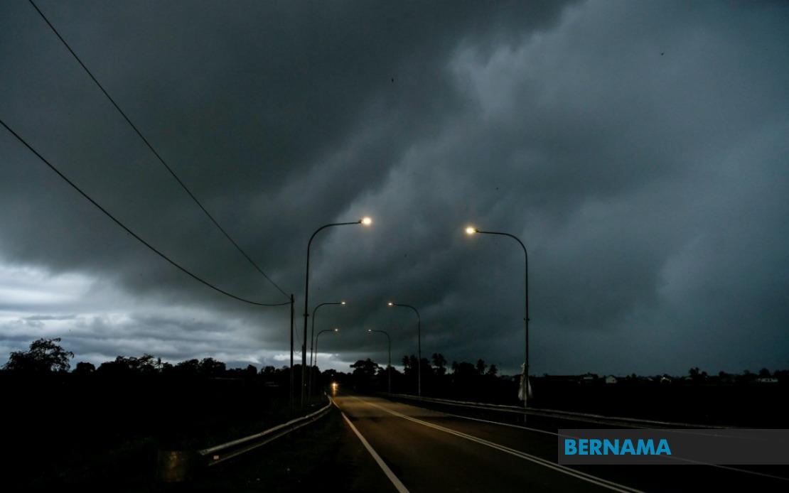
The Malaysian Meteorological Department has issued a severe weather alert covering seven states across the nation, with thunderstorms, torrential rain and hazardous wind gusts expected to persist until midnight. The warning encompasses a significant geographical spread, from Peninsular Malaysia to both Sarawak and Sabah, affecting numerous populated districts and potentially impacting millions of residents across these regions.
In Peninsular Malaysia, the entire state of Melaka lies within the warning zone, placing one of the nation's most densely populated states on high alert. The southern state, home to significant industrial and residential areas, faces the prospect of flash flooding and disrupted transportation as the system moves through. Beyond Melaka, seven districts in Terengganu have been flagged for severe weather, including the state capital Kuala Terengganu alongside Setiu, Kuala Nerus, Hulu Terengganu, Marang, Dungun and Kemaman, covering a substantial portion of the east coast's population centers.
The warning extends into the interior regions, with Pahang's Jerantut and Bera districts identified as vulnerable areas. Both districts sit in zones with significant forest coverage and rural settlements, where thunderstorms can trigger landslides and isolate communities. In Negeri Sembilan, the southern districts of Jempol and Tampin face similar risks, while Johor—Malaysia's southernmost state—has six districts under alert: Tangkak, Segamat, Muar, Batu Pahat, Kluang and Pontian. This concentration in Johor reflects the weather system's particular intensity across the southern corridor.
Across the South China Sea, Sarawak's coastal and inland regions have not been spared from the forecasted severe weather. The alert encompasses Sarikei and Sibu, both significant commercial and transportation hubs on the coast, alongside Limbang in the north. The Song district within Kapit Division in the interior, along with Pusa, Saratok and Kabong in Betong Division, round out the affected Sarawakian territories. These areas span both developed urban zones and remote communities reliant on river transport, suggesting widespread operational disruptions.
Sabah's eastern divisions face comparable threats, with the Interior Division's Sipitang identified alongside the more densely populated eastern districts. Sandakan, a major port city and economic center, sits within the warning area, as do Tawau, Kunak and Lahad Datu from the Tawau Division. The inclusion of Tawau, Sarawak's second-largest city, underscores the weather system's intensity and broad reach across East Malaysia.
Thunderstorm warnings of this scope carry significant practical implications for Malaysian residents and businesses. Heavy rainfall in combination with strong winds poses risks to outdoor activities, construction sites and infrastructure operations. Transportation networks, particularly in flood-prone areas along the peninsular east coast and in lower-lying districts, may experience delays or closures. Motorists should exercise heightened caution on highways passing through warning zones, where reduced visibility and slippery road conditions create hazardous driving circumstances.
The timing of this alert—persisting until midnight—suggests a discrete weather system moving through Malaysian airspace during daylight and evening hours. Residents in affected areas should remain vigilant during this period, securing loose outdoor items and monitoring local weather updates. For those in historically flood-prone districts such as sections of Terengganu and Johor, this serves as a reminder to maintain emergency preparedness and stay informed of evacuation procedures.
Educational institutions, workplaces and public facilities in warning zones may need to implement contingency plans. School activities and outdoor events scheduled for the remainder of the day should be reconsidered, particularly in areas where flash flooding and strong winds pose safety risks. Employers should assess whether remote work arrangements are feasible for affected offices, especially in sectors like retail, hospitality and tourism that depend on foot traffic and client visits.
For the maritime sector, the warning carries particular significance. Ports in Melaka, Sarawak and Sabah may experience operational challenges, with vessels advised to seek shelter or delay movements until conditions stabilize. Fishing communities along coasts should defer maritime activities, as thunderstorm conditions generated by such systems can rapidly escalate and pose serious dangers to smaller vessels. The combination of heavy rain and strong winds creates unpredictable sea state changes that maritime operators must respect.
Agricultural areas within the warning zones may benefit from the rainfall, which can replenish soil moisture following dry periods. However, the intensity and associated strong winds pose risks to crops and can damage structures in farming communities. Plantation operators and agricultural workers should take precautions to protect equipment and crops from wind damage and waterlogging.
The geographical extent of this warning—touching multiple regions across nearly 330,000 square kilometers—reflects the scale of the meteorological system affecting Malaysia on this date. Residents in non-warned areas should monitor forecasts, as weather systems can shift, and secondary effects such as displaced moisture and secondary wind patterns may extend impacts beyond the primary warning zones. The midnight deadline suggests that conditions are expected to improve thereafter, though residual effects may linger into early morning hours.

