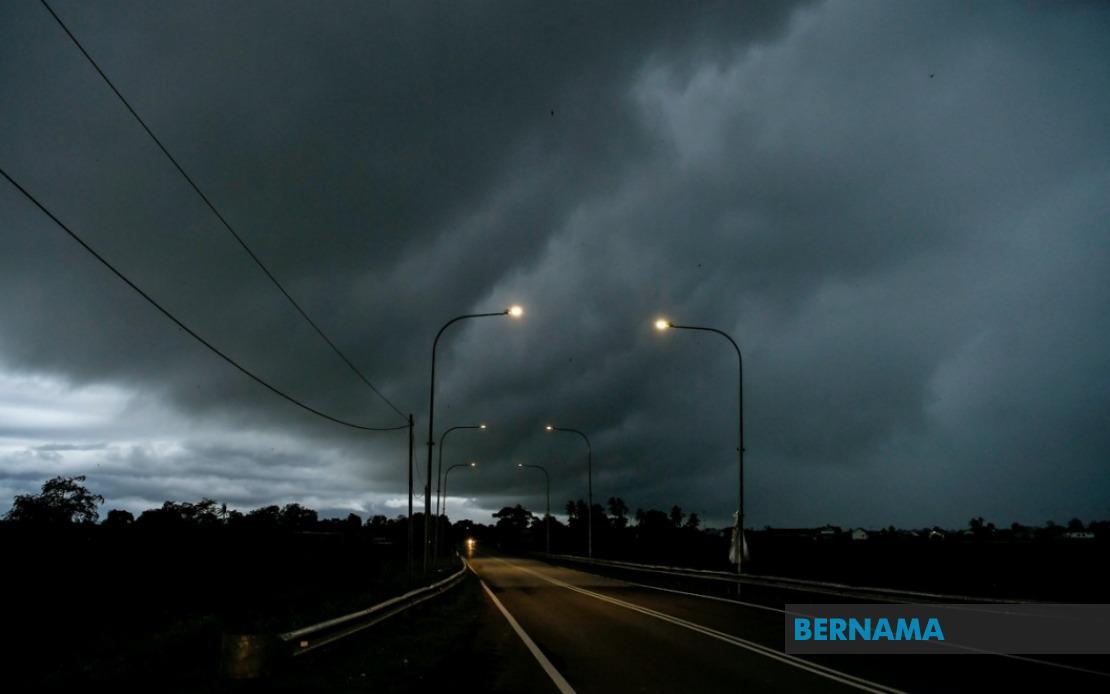
Residents across Kedah, Perak, Negeri Sembilan, Melaka and Johor should brace for volatile weather conditions as Malaysia's meteorological authority issued a hazard warning for thunderstorms, heavy rainfall and strong winds persisting until midday on July 11. The alert underscores the unpredictable nature of Malaysia's monsoon season and the need for residents in affected zones to maintain heightened awareness of atmospheric developments.
The Malaysian Meteorological Department pinpointed several districts facing the greatest risk of severe weather. In Kedah's northern reaches, Kota Setar, Pokok Sena, Yan and Pendang residents face the brunt of incoming precipitation. The warning extends into Perak's coastal and low-lying areas, particularly Manjung, Bagan Datuk and Hilir Perak, where drainage systems may struggle under concentrated rainfall. Negeri Sembilan's interior districts of Rembau and Tampin were similarly flagged, suggesting that inland regions are not immune to the anticipated atmospheric disturbance.
The southern peninsula bears a substantial portion of the warning zone. Melaka state sits entirely within the forecasted hazard corridor, while seven districts spanning Johor—from Tangkak in the interior through Muar, Batu Pahat and Pontian along the west coast, extending eastward to Kulai and encompassing the major urban center of Johor Bahru—face heightened risk. This geographic spread indicates the system's potential scale and intensity, affecting both rural communities and densely populated urban conurbations.
Thunderstorm warnings during Malaysia's warm, humid months carry particular significance for public safety. Wind gusts accompanying such systems can prove hazardous for outdoor activities, driving conditions and structural stability. Heavy precipitation arriving in concentrated bursts strains municipal drainage infrastructure, particularly in older urban areas where stormwater capacity may be insufficient. For low-lying communities and those adjacent to rivers, flash flooding represents a tangible threat whenever substantial rainfall materializes within short timeframes.
The restriction of the warning to a noon deadline suggests meteorologists anticipate the system's northward or eastward drift as heating patterns evolve through the midday hours. However, the specificity of the affected districts and the formal issuance through official channels underscore the credibility and regional nature of this threat, distinguishing it from general seasonal advisories. MetMalaysia's decision to issue a time-bound warning indicates confidence in model guidance regarding system movement and intensity.
Public authorities and emergency services typically activate heightened alert protocols following MetMalaysia statements. Traffic management agencies may pre-position resources in vulnerable zones, while municipal works departments monitor drainage systems and river flows. Schools and institutional facilities in affected areas implement contingency procedures, though morning sessions typically proceed unless conditions deteriorate dramatically. The explicit noon deadline allows residents and institutions to plan accordingly, knowing the risk window is circumscribed.
The multiplication of warnings across non-contiguous states—separated by significant distances—points toward a substantial atmospheric feature rather than isolated convective development. Such systems commonly emerge during periods of heightened moisture influx from surrounding seas and elevated atmospheric instability. For residents unfamiliar with their region's weather patterns, the concentration of warnings across such a large geographic area may provoke concern disproportionate to the actual hazard timeline.
MetMalaysia's advisory to consult official channels represents a deliberate effort to combat misinformation and encourage residents to rely on authoritative sources. During weather emergencies, accurate information flow prevents unnecessary panic while ensuring those in genuine danger receive actionable guidance. The department maintains multiple communication platforms including its website, social media presence and partnerships with broadcast media, ensuring information reaches diverse demographic segments.
For residents in the flagged districts, practical response measures include postponing outdoor plans during the warning period, securing loose items that wind might displace, and monitoring local drainage conditions if in flood-prone zones. Vehicle operators should exercise enhanced caution on roads, as reduced visibility and slick surfaces create hazard conditions. Motorists traversing areas with overhead powerlines or vegetation-laden zones should remain alert to potential debris hazards.
The issuance of such warnings represents the meteorological service's value to public safety and planning. While Malaysian residents have grown accustomed to seasonal weather volatility, formal notifications enable communities to distinguish between routine afternoon thunderstorms and more serious atmospheric events warranting behavioral adjustments. This particular alert, affecting multiple states simultaneously until midday, merits the attention and preparedness measures MetMalaysia recommends.
As equatorial and tropical nations continue experiencing climate-related atmospheric volatility, meteorological forecasting and timely public communication remain essential public goods. Malaysia's established warning apparatus has evolved substantially over recent decades, improving prediction accuracy and geographic specificity. Residents who engage with such guidance and maintain awareness of changing atmospheric conditions significantly reduce their vulnerability to weather-related incidents. The noon deadline offers a clear temporal boundary, after which atmospheric conditions are expected to stabilize across the affected regions.

